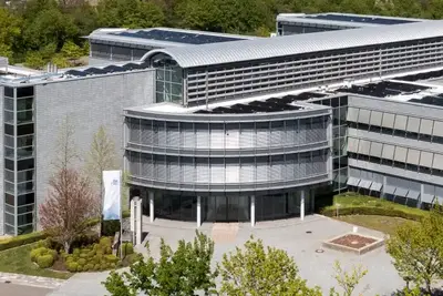


BGE

News
Waste
Repository search
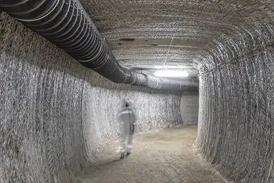
Asse
Konrad
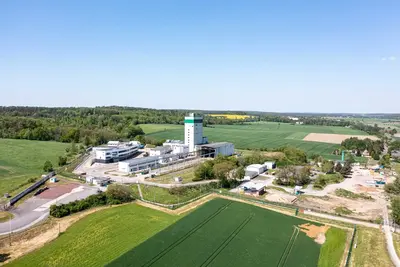
Morsleben
Gorleben
BGE

Organisation
Radioactive waste
Background information
Repository search
Phase I Step 2: Siting regions
Asse
Short information
Main topics
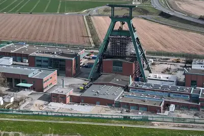
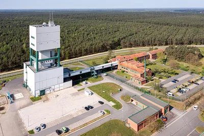
Konrad
Short information
Main topics
Morsleben
Short information