Phase I Step 2: Siting regions
The aim of Step 2 of Phase I of the site selection procedure is to identify siting regions. These regions are to be explored above ground as part of the search for a repository site for high-level radioactive waste in Germany.
On this page
- Safety analyses and areas fot methodological development
- Geoscientific consideration
- Theoretical planning consideration
- Proposed siting regions
The process of narrowing down and assessing siting regions consists of three key instruments:
- representative preliminary safety analyses
- geoscientific weighing criteria
- planning-scientific weighing criteria
The starting point is the result of Step 1 of Phase I of the site selection procedure: the 90 sub-areas that the BGE identified in the Sub-areas Interim Report.
More information
ResearchSafety

In each of the three phases of the site selection procedure, preliminary safety analyses are carried out for the areas that are to be assessed. The representative preliminary safety analyses represent the first step of the process. All preliminary safety analyses adhere to specified requirements in order to determine the extent to which the safe containment of radioactive waste can be expected if the best possible use is made of the geological conditions at the site. The first step is therefore to make an assessment of the safety of a possible repository in a rock formation.
The manner in which the safety analyses are carried out and what they must include are regulated by section 27 of the Repository Site Selection Act as well as by the Repository Safety Analysis Ordinance (EndlSiUntV) and the Repository Safety Requirements Ordinance (EndlSiAnfV). Although both ordinances are very detailed, they leave open the question of how exactly implementation is to be carried out in light of the results of the Sub-areas Interim Report.
Areas for methodological development
Four areas for methodological development therefore help the BGE to design a robust processing concept so that the representative preliminary safety analyses can be applied to all 90 sub-areas – in such a manner that, depending on the type of host rock, they can be compared with one another.
At the end of March 2022, the BGE published the progress of work on its methodology:
This was discussed online until the end of May 2022. The online consultation and the opportunity to submit expert opinions come in addition to a series of events at which experts from the BGE explained the procedure and answered some initial questions. The aim is to develop a fundamental approach that takes account of the very different situations in the 90 sub-areas, on the one hand, while also ensuring that the same benchmark is used for measurements across the board.
In June, the BGE held another official event in order to give a final report on the suggestions and recommendations it received during the course of the public expert debate and the discussion as well as how it will now proceed.
Sequence of safety analyses
The procedure for a representative preliminary safety analysis consists of a sequence of seven elements:
- specification of investigation areas
- geosynthesis
- preliminary safety concept, including preliminary design of repository
- analysis of repository system
- comprehensive assessment of repository system
- assessment of uncertainties
- derivation of exploration and research requirements
Even here, some sub-areas may fall through the search grid and would therefore not be taken into consideration in the rest of the procedure, although favourable siting regions are identified by the second assessment instrument: the geoscientific weighing criteria.
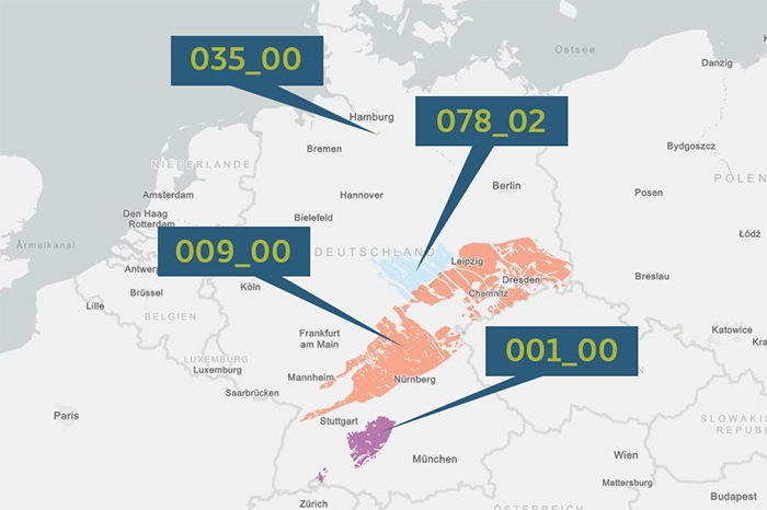
The four areas for methodological development.
Narrowing down
Initially, the sub-areas can be narrowed down by means of the representative preliminary safety analyses, as these serve in particular to identify clearly unsuitable areas that are then excluded from consideration in the rest of the procedure. Further narrowing down of the sub-areas with a view to identifying siting regions is achieved by renewed application of the geoscientific weighing criteria.
The geoscientific weighing criteria are used to carry out a safety-related and comparative assessment and a comparison of areas. These criteria compare the safety of the areas identified in the representative preliminary safety analyses. Here, the aim is to identify the worse areas and to provide appropriate justification for their exclusion from the procedure. The methodology for applying the geoscientific weighing criteria is currently undergoing further development – and the progress of this work will be presented for public discussion in autumn 2022.
Above ground
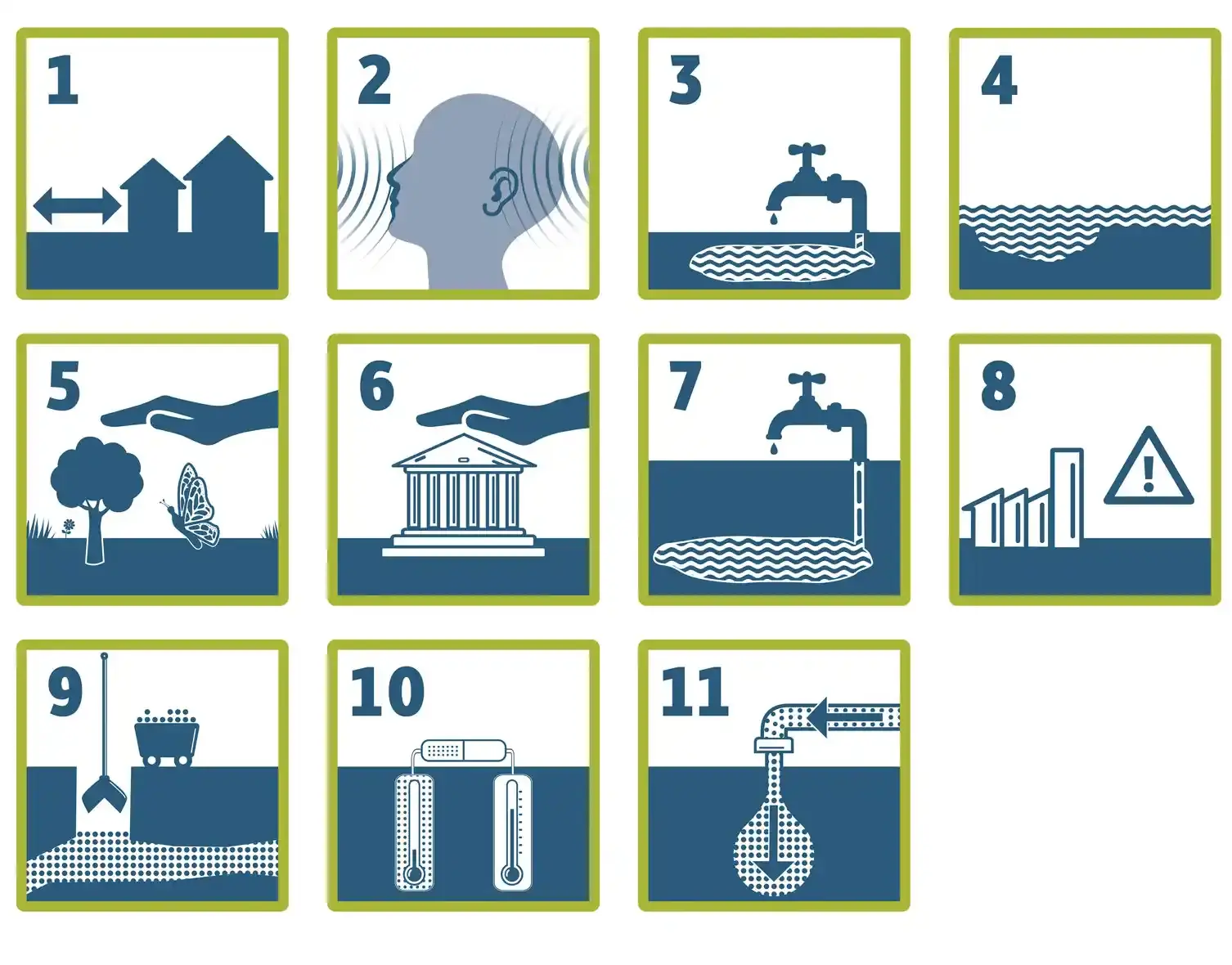
The planning-scientific weighing criteria are only applied if the criteria and minimum requirements do not allow the narrowing down of siting regions, or if it is necessary to compare two sites that are to be considered as equivalent in terms of safety. These criteria are generally subordinate to the geological criteria and minimum requirements for a site. In short, geology takes priority over regional planning because underground safety must be ensured.
For example, the planning-scientific weighing criteria include the distance between a potential site and residential areas, whether a site is located in a conservation area, drinking water protection area or flood plain, and the breakdown of mineral resources.
Proposal
The aim is to identify a number of favourable siting regions in which surface exploration will be carried out in Phase II of the site selection procedure. Based on this, sites will ultimately be proposed for underground exploration. It is not yet clear how many there will be. The BGE is currently planning for around 10 regions, but the final number could be higher or lower.
The BGE will convey its proposal for siting regions, including site-specific exploration programmes, to the Federal Office for the Safety of Nuclear Waste Management (BASE). The BASE will review the proposal, carry out strategic environmental assessments, and also initiate the convening and involvement of the regional conferences and the Council of Regions. It is ultimately the federal legislature that decides which siting regions will undergo surface exploration. In turn, the BASE will specify the corresponding site-specific exploration programmes by publishing them in the Federal Gazette.


