Main topic: 3D seismic survey
There’s an old miners’ saying that goes “It’s dark in front of the pick,” but it’s now possible to learn more about the course of geological layers without using a pick. One way of doing so is known as a 3D seismic survey.
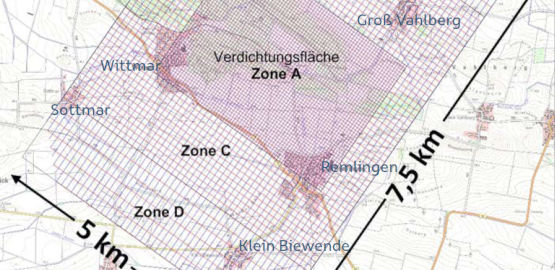
In the winter months of 2019/2020, the Bundesgesellschaft für Endlagerung (BGE) carried out 3D seismic measurements in the vicinity of the Asse II mine. These measurements served to obtain reliable data on the structure of the overburden and the geological structure of the Asse mountain range. This data represents an important step towards the retrieval of the radioactive waste, because it is essential in order to prepare the licensing documents for the retrieval and subsequent decommissioning with the necessary accuracy.
In order to take the measurements, it was necessary to carry out work at the site and in the municipalities in the vicinity of the mine. This main topic provides information on the work that was carried out.

